Description
Softree TERRAIN TOOLS crack for unlimited PC
The Path Explorer AI module is not included in the package because it requires a different subscription/license.
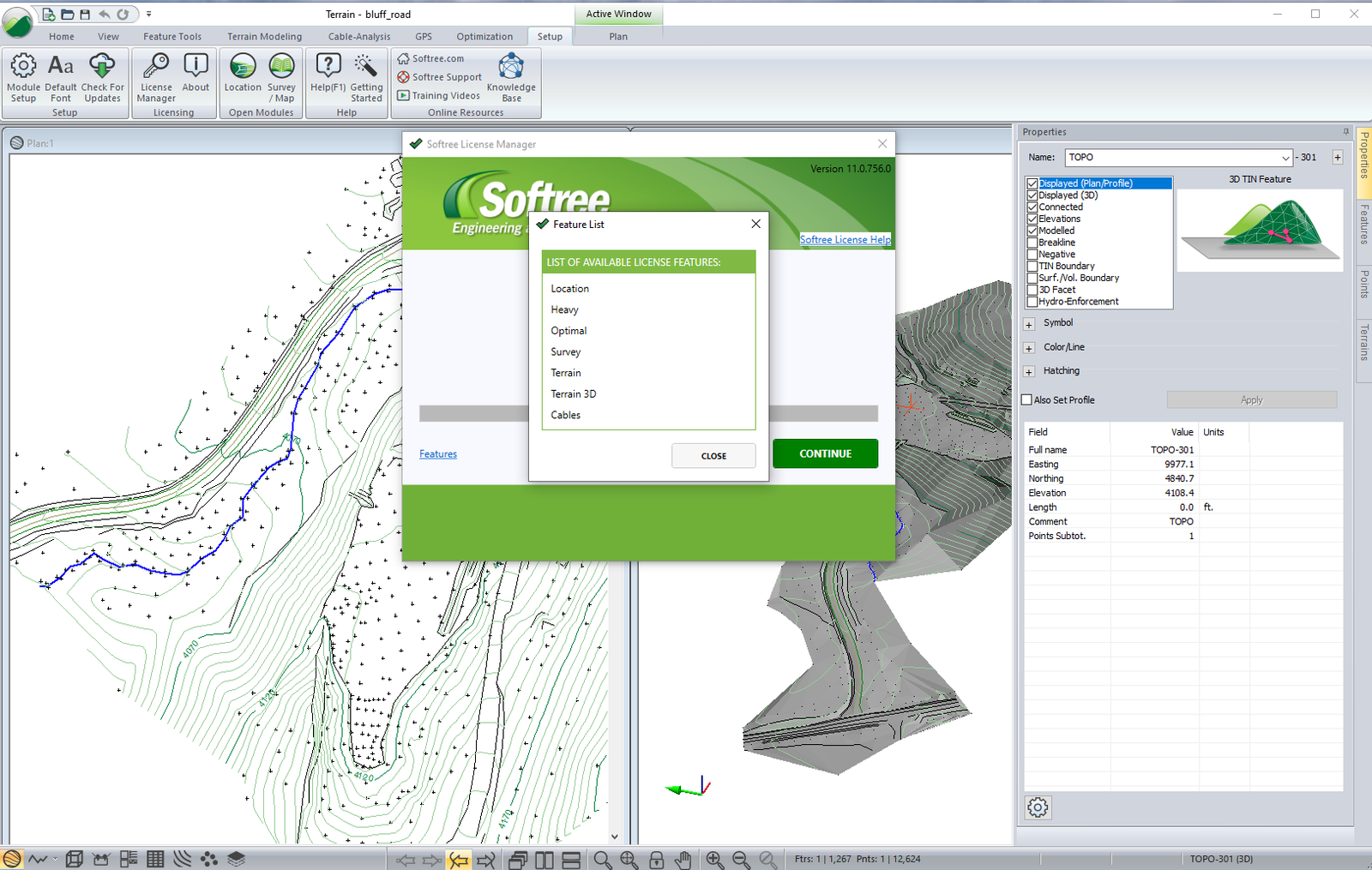
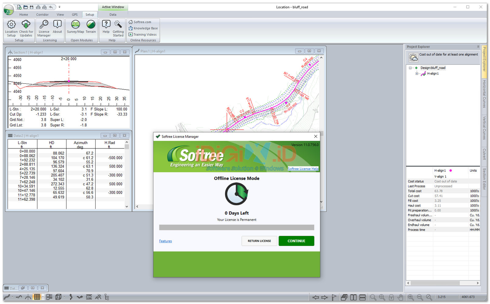
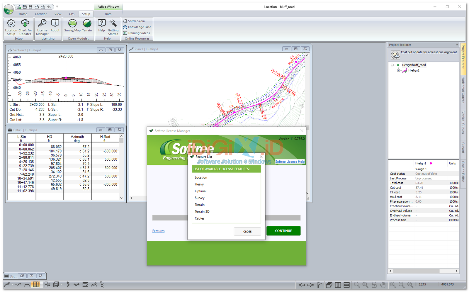
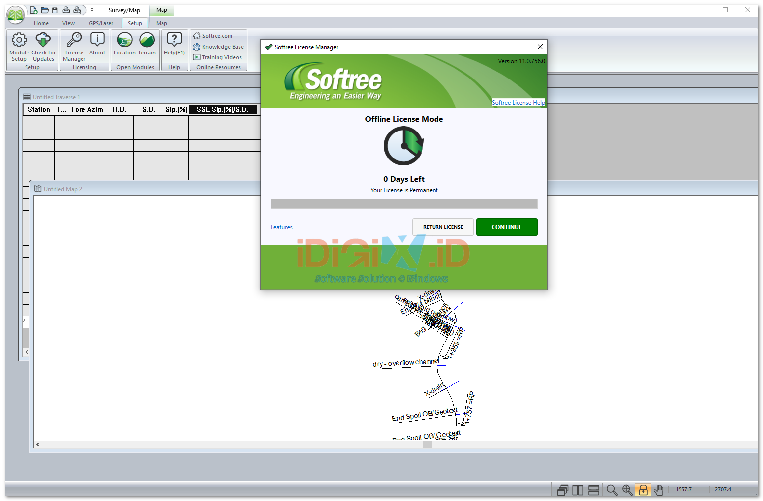
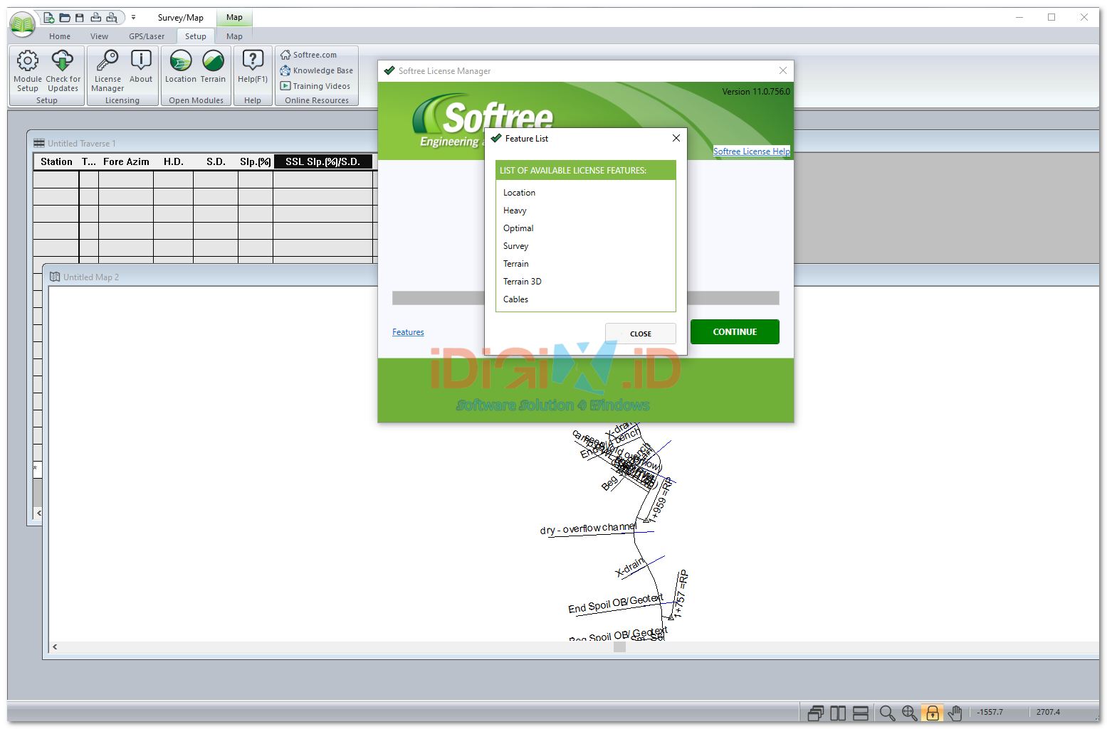
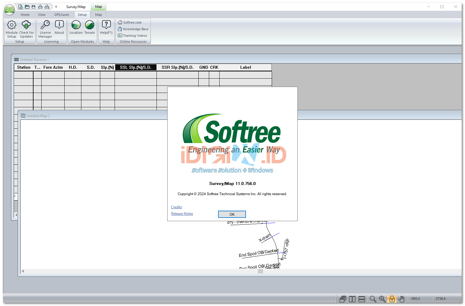
Take full control of complex corridor design, site modeling, and earthwork cost optimization with Softree RoadEng & Softree Optimal (Version 11.0.756.0). Designed specifically for civil engineers, foresters, land developers, and municipal planners, Softree v11 provides a streamlined, high-performance alternative to overly complex CAD environments.
Whether you are designing rural access roads, highway alignments, pipelines, rail corridors, or site grading projects, the 11.0.756.0 build combines intuitive 3D terrain modeling with powerful mathematical alignment solvers to deliver production-ready civil engineering sets in record time.
Why Upgrade to Version 11.0.756.0?
Traditional CAD programs often require steep learning curves and hours of manual geometry tweaking just to update a simple road profile. Softree RoadEng v11.0.756.0 operates on a dynamic design model: change your horizontal alignment, vertical curve, or cross-section template, and all cut/fill quantities, mass-haul diagrams, and 3D visual models update instantly.
Build 11.0.756.0 introduces enhanced rendering performance for large point clouds, improvedLandXML/DWG data exchanges, and optimized mathematical solvers inside Softree Optimal—allowing engineers to automatically calculate the lowest-cost vertical alignment and save up to 15% in material movement and haulage costs.
Core Modules & Key Features in Build 11.0.756.0
-
Terrain Module (3D Site & Surface Modeling): Effortlessly process LIDAR data, drone survey point clouds, GPS data, and total station surveys to generate high-resolution digital elevation models (DEM) and contour maps.
-
Location Module (Corridor & Alignment Design): Design horizontal alignments, vertical curves, cross-section templates, sub-grades, and culvert placements with real-time dynamic visual feedback.
-
Softree Optimal (Alignment Optimization Engine): Automatically compute the ideal vertical alignment to minimize construction costs, material transport, and cut/fill volumes while adhering to strict grade limits, sight distances, and environmental constraints.
-
Mass-Haul & Earthwork Calculation: Advanced mass-haul diagram generator that tracks cumulative earthwork volumes, borrow pits, waste sites, and haul distances to give contractors exact cost projections.
-
3D Visualizer & Fly-Throughs: Render realistic, high-speed 3D drive-throughs and visual simulations of your roadway or site design for public consultations and client presentations.
-
Seamless Data Interoperability: Import and export industry-standard file formats, including Civil 3D LandXML, AutoCAD DWG/DXF, Bentley MicroStation DGN, shapefiles (GIS), and ASCII point data.
Premium Benefits of Ordering From Us
We understand that civil project deadlines and engineering submittals require absolute software reliability. When you purchase from our store, we guarantee an elite product deployment:
-
100% Unrestricted & Stable Performance: We guarantee that this Softree 11.0.756.0 release features all premium terrain modules, location alignment tools, and earthwork optimization solvers fully operational.
-
Absolute Session Stability (No Auto-Close Errors): Engineered to run smoothly on heavy-duty engineering workstations. You will never experience sudden software crashes or spontaneous auto-closing while processing heavy LIDAR point clouds or large corridor models.
-
Bebas Pesan Error / No Expiration Prompts: This standalone build is pre-validated for permanent, trouble-free local use. You will never encounter sudden license expiration pop-ups, time-bomb cutoffs, or feature drop-offs.
-
Streamlined Professional Deployment: Package includes clean, systematic, step-by-step installation instructions that allow your engineering or IT team to deploy the platform quickly.
-
Dedicated Store Technical Support: Should you encounter any local file pathing or CAD environment configuration issues, our support channel is ready to assist you until your workspace is perfectly operational.
System Compatibility
| Component | Minimum Requirement | Recommended Specification |
| Operating System | Windows 10 (64-bit) | Windows 11 (64-bit) |
| Processor (CPU) | Intel Core i5 or AMD Ryzen 5 (2.5 GHz+) | Intel Core i7 / i9 or AMD Ryzen 7 / 9 (Multi-Core) |
| Memory (RAM) | 8 GB | 16 GB or 32 GB (Essential for massive LIDAR point clouds & DEMs) |
| Graphics Card (GPU) | Dedicated GPU with OpenGL/DirectX support | NVIDIA GeForce RTX or Quadro (4GB+ VRAM) |
| Storage | 2 GB Free Space | Solid State Drive (SSD / NVMe) for rapid terrain caching |
| Display | 1280 x 1024 resolution | 1920 x 1080 (Full HD) or Dual Monitor Setup |
Perfect For
-
Civil & Infrastructure Engineers: Designing highways, municipal streets, resource access roads, pipelines, and rail alignments.
-
Surveyors & Site Developers: Modeling topography from drone LIDAR point clouds, generating contour maps, and calculating cut/fill volumes.
-
Earthwork & Heavy Civil Contractors: Optimizing haulage logistics, analyzing mass-haul curves, and validating excavation estimates before bidding.



Reviews
There are no reviews yet.