
Description
Virtual Surveyor 2026.3.0.593
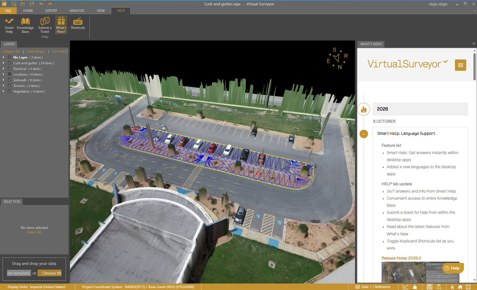
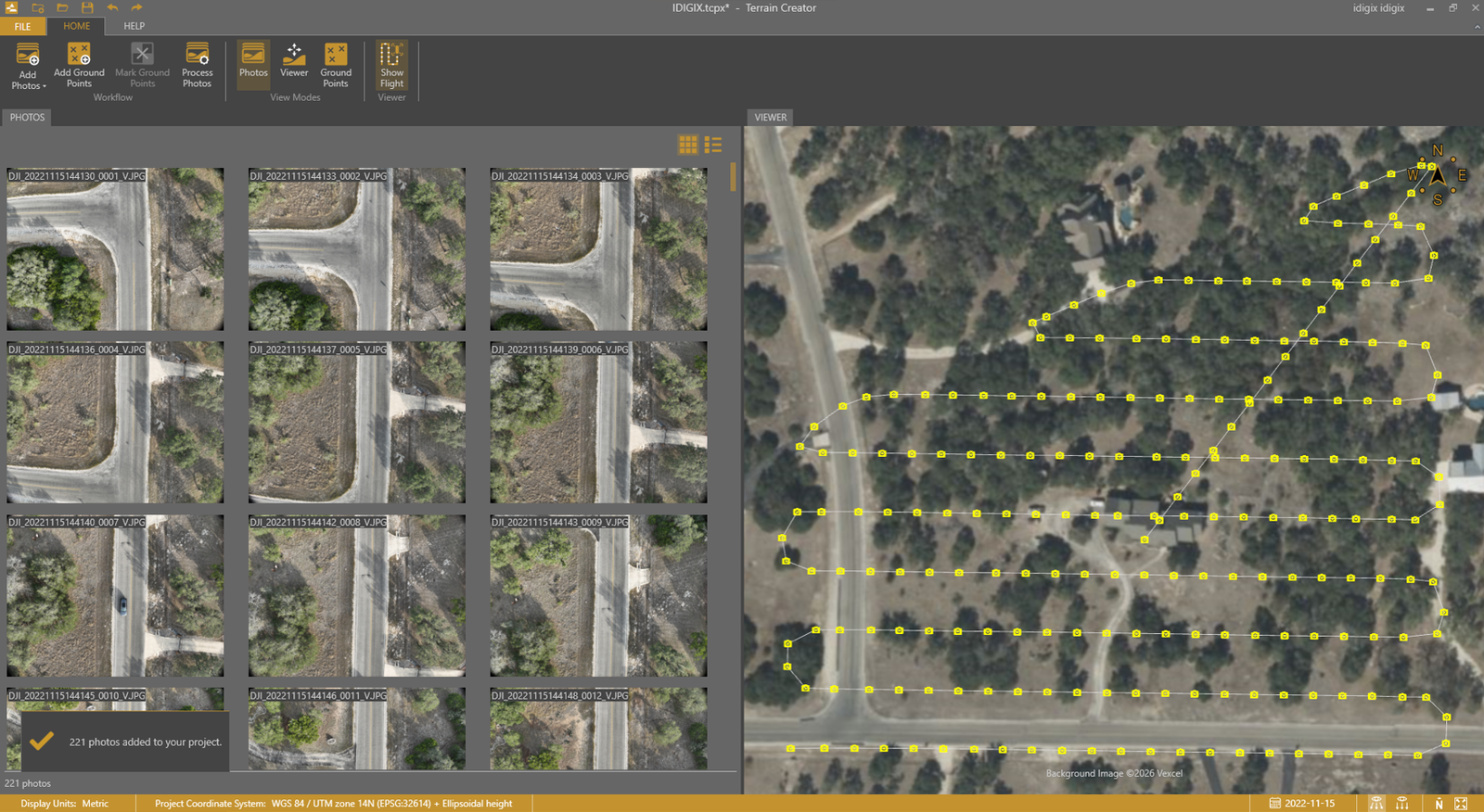
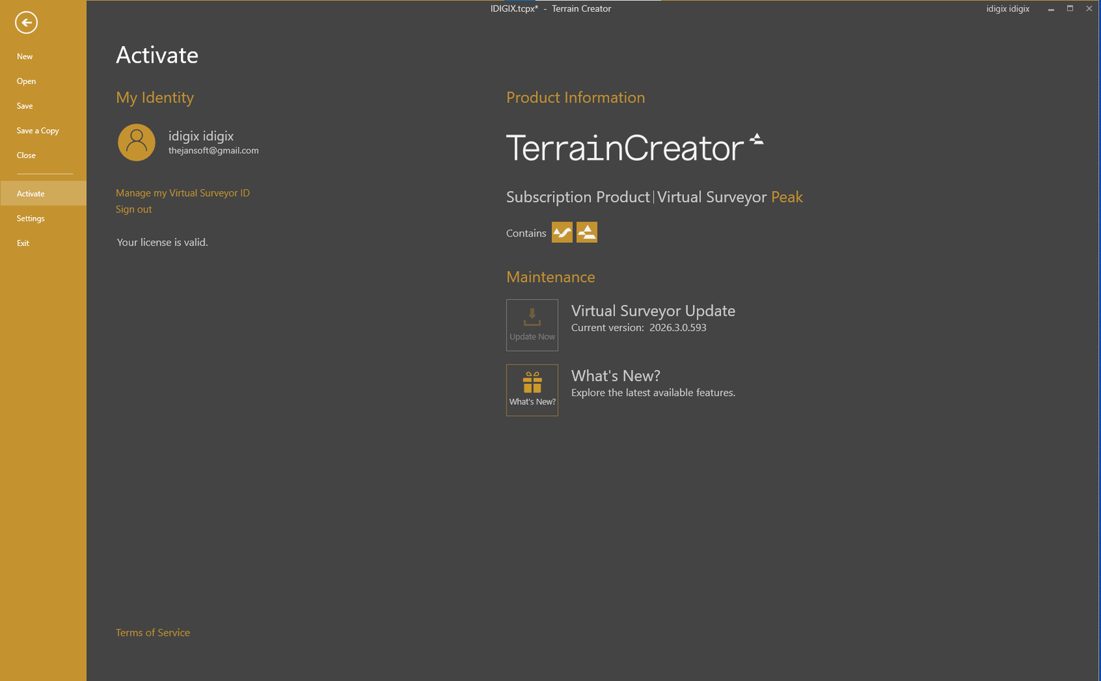
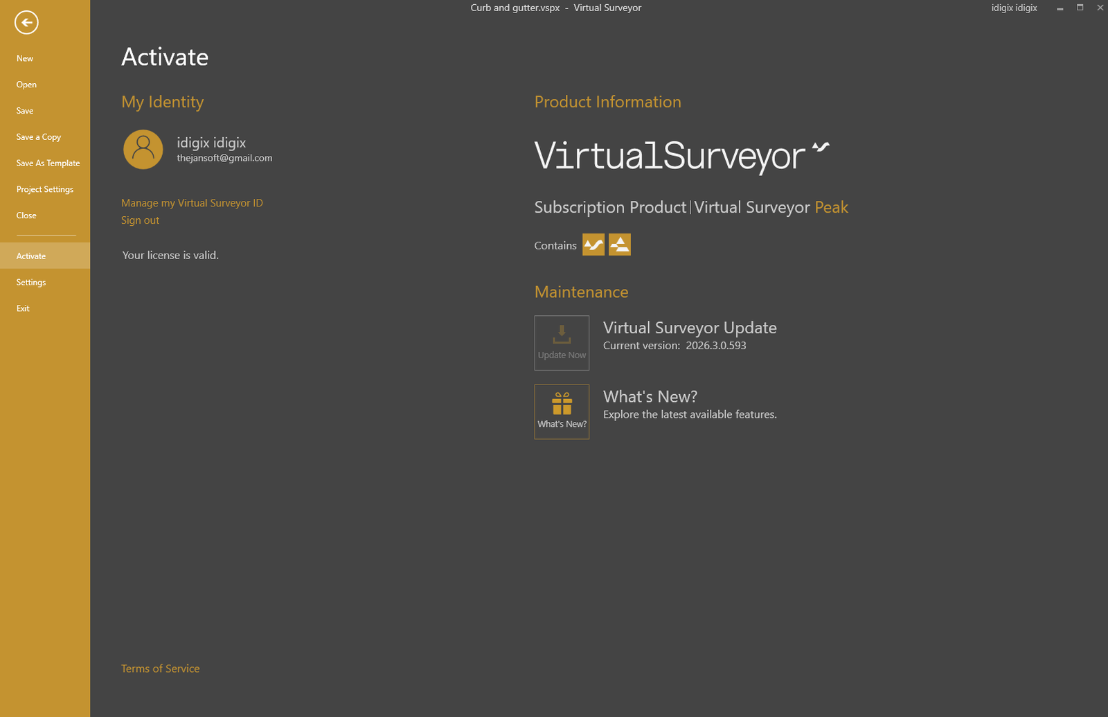
Handling massive multi-gigabyte point clouds and dense digital elevation models directly in traditional CAD software often leads to severe latency and software crashes. Virtual Surveyor solves this bottleneck by providing an ultra-responsive 3D workspace that blends orthophoto imagery with elevation models (DEM/DSM) into an intuitive, lightweight virtual terrain.
Rather than relying on tedious point-by-point manual tracing, Virtual Surveyor leverages automated extraction algorithms to detect breaklines, crests, toes, road edges, and contours. It delivers professional, auditable surveying data ready for immediate handover to design and construction teams.
Key Features:
-
Instant Cut & Fill Volume Calculations: Rapidly compute stockpile volumes, quarry inventory, and multi-temporal surface progression with auditable cross-sections and reports.
-
Smart Breakline & Edge Tracing: Specialized tools that track physical boundaries, mining slope crests/toes, road centerlines, and drainage lines with guided intelligence.
-
Clean Contour Generation: Generate clean, noise-free topographic contours at custom intervals without the typical clutter of unclassified point clouds.
-
Vegetation & Obstacle Removal: Easily remove trees, stockpiled materials, structures, and moving machinery to uncover true bare-earth ground models.
-
CAD & GIS Interoperability: Export finished TIN surfaces, point grids, contours, and vectors straight into AutoCAD DXF, LandXML, ESRI Shapefile, GeoTIFF, and CSV formats.
-
High-Speed Responsive Engine: Smoothly handles massive datasets (from Pix4D, Metashape, DroneDeploy, or DJI Terra) without freezing or requiring server-grade hardware.
Spesifikasi Teknis / System Requirements
| Parameter | Minimum Requirement | Recommended Specification |
| Operating System | Windows 10 (64-bit) | Windows 10 / Windows 11 (64-bit) |
| Processor (CPU) | Intel Core i5 / AMD Ryzen 5 (Quad-core) | Intel Core i7 / i9 atau AMD Ryzen 7 / 9 (6-8 cores+) |
| Memory (RAM) | 8 GB | 16 GB – 32 GB |
| Graphics (GPU) | Dedicated GPU with 2 GB VRAM (OpenGL 3.3+) | NVIDIA GeForce GTX / RTX (4 GB+ VRAM) |
| Storage | 4 GB free disk space | Fast NVMe SSD for large point cloud caches |
| Compatible Data Inputs | GeoTIFF (Elevation/Orthophoto), LAS/LAZ, Point Clouds | DSM, DTM, Drone Photogrammetry Exports |
Key Features of Virtual Surveyor V2026.3.0.593
Drone Data and Terrain Visualization
Users can inspect aerial imagery and elevation information to identify site features, examine ground levels, and interpret terrain. Different viewing options support both three-dimensional terrain review and map-based work.
Topographic Survey Creation
Virtual Surveyor provides tools for creating points, polylines, boundaries, breaklines, contours, and terrain surfaces. These deliverables can support land development, road planning, construction, and other surveying workflows.
Terrain Modeling and Elevation Analysis
Terrain modeling helps professionals understand elevation changes, slopes, and surface geometry. Reliable results require suitable input data and correct coordinate systems and vertical references.
Stockpile and Volume Calculations
Virtual Surveyor includes tools for stockpile volume calculation and quantity reporting. Results depend on the selected reference surface, data quality, and measurement method.
Cut-and-Fill Analysis
Users can compare existing terrain with design surfaces to evaluate potential excavation and fill quantities. These comparisons can support construction planning and progress monitoring.
Support for Different Survey Data Sources
Supported workflows can combine drone data with field measurements and CAD information. Data formats may include orthophotos, digital surface models, point clouds, field surveys, DXF, and LandXML.
Project Comparison and Progress Monitoring
Repeated surveys can help teams review stockpile changes, excavation progress, and differences between current terrain and a baseline or design surface.
Smart Help and Updates in Version 2026.3
The 2026.3 release introduces Smart Help within the desktop apps, more in-app support resources, and four additional languages. These updates improve access to guidance and help information.
Practical Applications of Virtual Surveyor
- Land surveying and topographic mapping
- Civil engineering and site development
- Construction earthwork planning
- Mining, quarrying, and stockpile measurement
- Water management and terrain analysis
- Waste site monitoring
Benefits and Limitations
Virtual Surveyor can help organize drone surveying tasks and produce useful terrain and quantity deliverables. However, poor image coverage, inaccurate ground control, unsuitable coordinate settings, or incomplete data can affect results. Important measurements should be validated using appropriate professional methods.
Conclusion
Virtual Surveyor V2026.3.0.593 supports drone-based surveying, terrain modeling, stockpile measurement, cut-and-fill analysis, and project progress monitoring. Its 2026.3 update adds Smart Help, easier access to support resources, and additional language options. Accurate results depend on appropriate source data, correct settings, and professional validation.


Reviews
There are no reviews yet.